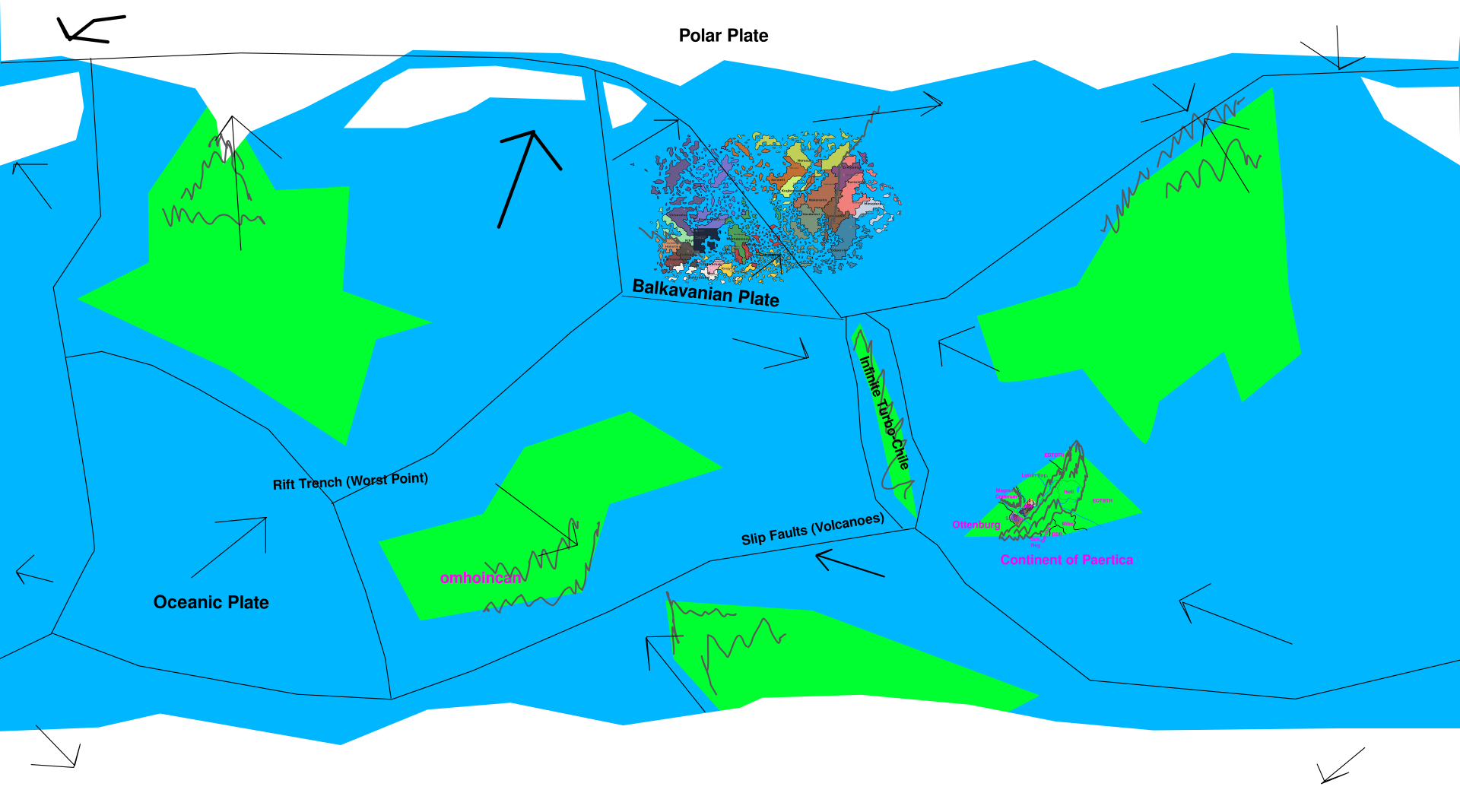
File:World Map with Tectonic Plates - Plates & Directions.png
(Redirected from File:World Map with Tectonic Plates - Plates & Directions V5.png)
Size of this preview: 800 × 445 pixels. Other resolution: 1,920 × 1,068 pixels.
Original file (1,920 × 1,068 pixels, file size: 332 KB, MIME type: image/png)
World Map with Tectonic Plates - Plates & Directions V5
File history
Click on a date/time to view the file as it appeared at that time.
| Date/Time | Thumbnail | Dimensions | User | Comment | |
|---|---|---|---|---|---|
| current | 01:49, 30 April 2026 | | 1,920 × 1,068 (332 KB) | JabicAdmin (talk | contribs) | |
| 14:43, 18 April 2026 |  | 1,920 × 1,068 (419 KB) | JabicAdmin (talk | contribs) |
You cannot overwrite this file.
File usage
The following 3 pages use this file: